Corridor de la Rivière Saint-Charles

Road Biking


A bike path along both banks of the Saint-Charles River, with a walking trail running parallel to it that extends from the Scott Bridge to the west and east to Samson Bridge. The trail runs for 4.7 km (2.9 miles) on the north side and for 4.3 km (2.7 miles) on the south.

Parking:
Free Outdoor on Site, Outdoor on site for a fee
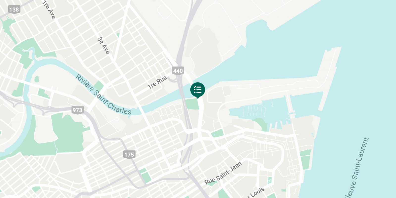
Corridor de la Rivière Saint-Charles

You'll Also Like

  • Two women canoe in the river at the bottom of the valley, in Jacques-Cartier National Park.
    Kayaking, Canoeing and Stand-up Paddleboarding
    Read
  • Couple marchant dans le parc Montmorency dans le Vieux-Québec
    7 Fall Activities You Won’t Want to Miss
    Read
  • Snowmobilers riding in a field
    Best Places for Snowmobiling Near Québec City
    Read
  • Couple in love walking on the Plains of Abraham, towards the Martello Tower 1, in summer.
    Beautiful Gardens and Parks for a Nature Walk
    Read
  • Au Chalet en Bois Rond - Lake and cottage
    Rental Cottages and Houses
    Read
  • Couple kayaking in the fall season at the Marais du Nord
    10 Best Places to See Fall Foliage
    Read